 BIL2BMP Freeware
BIL/HGT to Image Converter
by Yuzuru Jewell(KANAE PROJECT)
BIL/HGT to Image Converter
by Yuzuru Jewell(KANAE PROJECT)
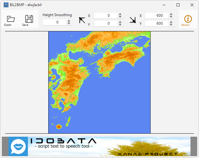
BIL2BMP reads a binary elevation map (BIL) and outputs a texture and height map in BMP or PNG format.
It can also read data from SRTM3 data (HGT) and data from The Global Land One-km Base Elevation (GLOBE) Project. If an HDR file of the same name exists, the program automatically reads Byte Order, Colomns, Rows, and Missing Flag. If no HDR file exists, a dialog box is displayed to specify one. Byte Order is selected between signed 16-bit little endian and signed 16-bit big endian.
The texture color uses the height and color palette information in BIL2BMP.txt.
Virus checked by NOD32 ver.26232.
The Software is provided "AS IS," without a warranty of any kind.
In no case shall the author be liable for any damage or unwanted behavior of any computer hardware and/or software.
No Rental. Customer may not rent or lease the SOFTWARE to someone else.
All title and copyrights in and to the SOFTWARE (including but not limited to all images, photographs, animations, video, audio, music, text, and other information incorporated into the SOFTWARE), the accompanying printed materials, and any copies of the SOFTWARE, are owned by KANAE PROJECT.
The SOFTWARE is protected by copyright laws and international treaty provisions. Accordingly, Customer is required to treat the SOFTWARE like any other copyrighted material, except as otherwise allowed pursuant to this LICENSE and that it may make one copy of the SOFTWARE solely for backup or archive purposes.
Windows 10 64bit / Windows 11
Unzip the ZIP file and copy all extracted files to storage. The following files will be extracted.
After confirming that the program has finished, delete the following files in the folder from storage.
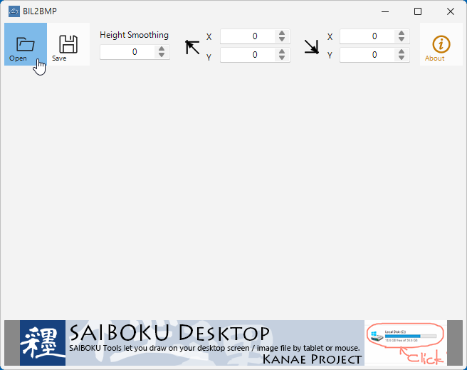
You can read an altitude binary file (BIL file) that contains altitude data in 2 bytes.
The file is read by specifying the order of the 2-byte altitude data (unit is [m]), the size of the altitude data, and the altitude data for places without altitude.
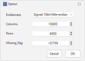
If these information are contained in the HDR file of the same name, they will be read and used; otherwise, a dialog box will appear and you will have to specify them.
The following two HDR file formats are supported.
data_byte_order          =  little_endian or big_endian  (byte order)
number_of_rows           =  NNN (number of rows)
number_of_columns        =  NNN (number of columns)
elev_m_missing_flag      = -NNN (missing flag)
BYTEORDER M or I (byte order M:big_endian I:little_endian)
NROWS   NNN     (number of rows)
NCOLS   NNN     (number of columns)
NODATA -NNN     (missing flag)
Spaces are ignored and NNN is an integer.
The maximum column size is 10800 and the maximum row size is 4800.
If you do not have an HDR or HDT file of the same name, specify it in the dialog. Make the settings and click OK button; the settings dialog will appear when the HGT file is loaded.
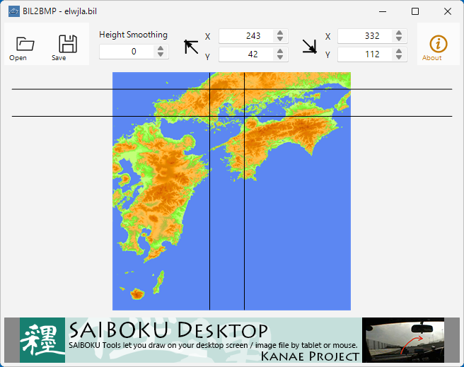
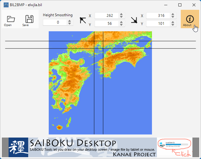
When you click the Save button, BIL2BMP outputs two image files. One is a texture file with "-tx" appended to the filename entered in the dialog, and the other is a height map file with "-ht" appended.
The texture file is generated using the height palette information in BIL2BMP.txt. The height map file is a monochrome image with height information smoothed and optimized to 256 levels. High areas are white and low areas are black.


You can specify the range of images to save by dragging the mouse or editing the spin box values. The default is all ranges.
Tab-delimited data. The structure is as follows. The area below the specified height is painted with the specified color.
It is loaded at startup.
Height[m]	R(0-255)	G(0-255)	B(0-255)
・・・
・・・
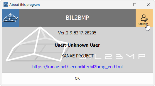
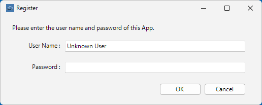
BIL2BMP is shareware, but all features are available indefinitely with no registration.
Please register to maintain the program offering.
BIL2BMP Donate Box at KANAE Shop
If you register, the banner ads displayed at the bottom of the program will be hidden.
Thanks to KJ Georgette for help with this Readme file.
Thanks to youwoth Jewell for checking this software.